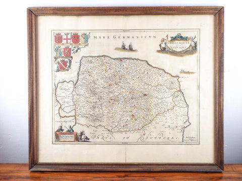
17th C Hand Color Map ~ Norfolk England ~ 1646 Jan Jannson Dutch
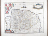
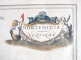
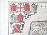
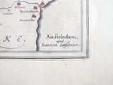
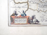
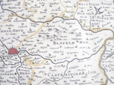
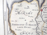
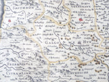
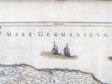
Original antique 17th century hand colored map of Norfolk and its surrounding counties which was printed and published by Jan Jansson for his Atlas Novus (Amsterdam: [Latin Text Edition] 1646-1659). Printed in 1646 as part of his historic counties of England collection this ornately decorative map of Norfolk on the east coast of England details the county topographically accurately and true. It also depicts the coats of arms of the nobles (historic Earls and Dukes of Norfolk) of that county on the left hand side of the legend.
A great addition to any rare map collection.
MEASUREMENTS
Framed map measures 24" wide by 21.5" tall and weighs 5lb 2oz.
CONDITION
In good condition and ready to hang (please see all pictures as they form part of the condition description).
Click Here to see our shipping, returns and refunds policy
Feel free to contact us if you have any further questions about this item.
We Also Recommend
